 Historical
Hurricane Information Tool
Historical
Hurricane Information Tool
General Information
 |
|
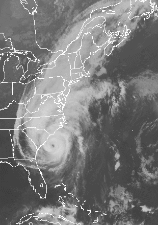
The HHIT is a GIS-based tool that collates information about early 19th century U.S. tropical cyclones. An editable version of the HHIT is available from the Hurricane Climate Institute at Florida State University. |
The HHIT is a series of maps containing tropical cyclone information transcribed from historical source documents. The primary source is David Ludlum's 1963 AMS Monograph. Separate maps show estimated tracks and intensities. | The HHIT database page gives a list of years that have information about historical hurricanes. It is recommended that you read the description pdf first. | ||||
|
Comments/Questions?: James Elsner |
||||||